Aerial Sunset View

Welcome to Terra Incognita

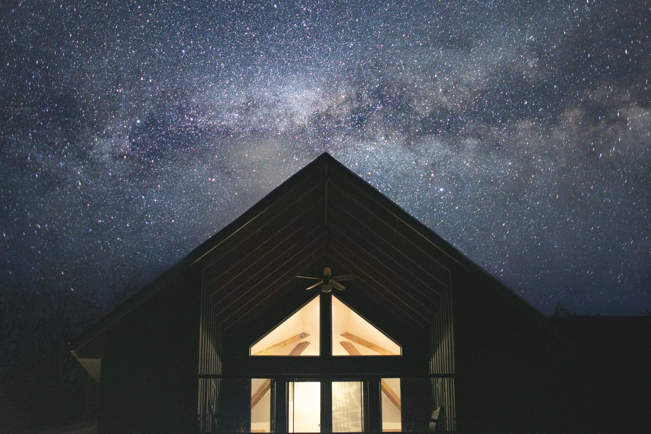
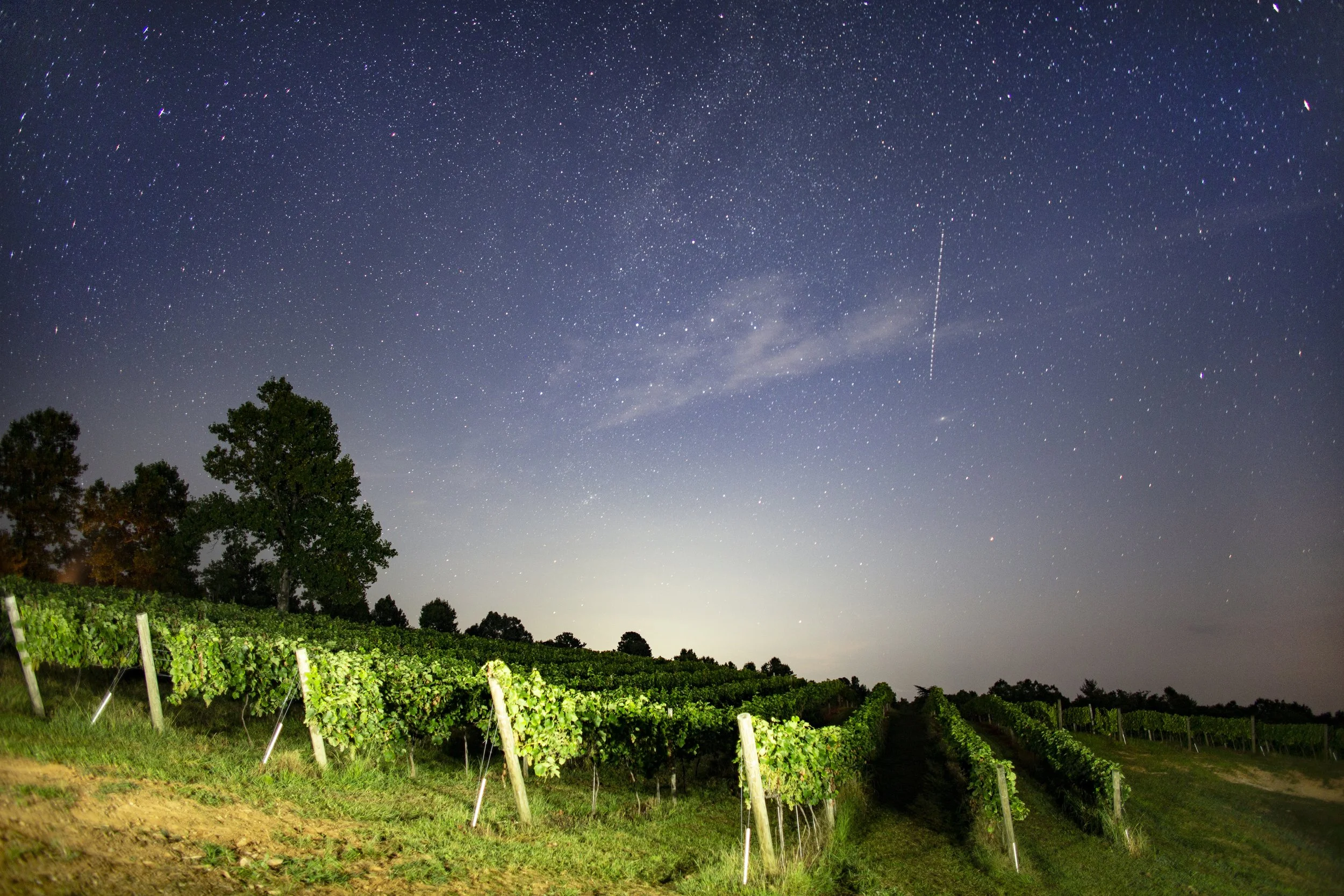
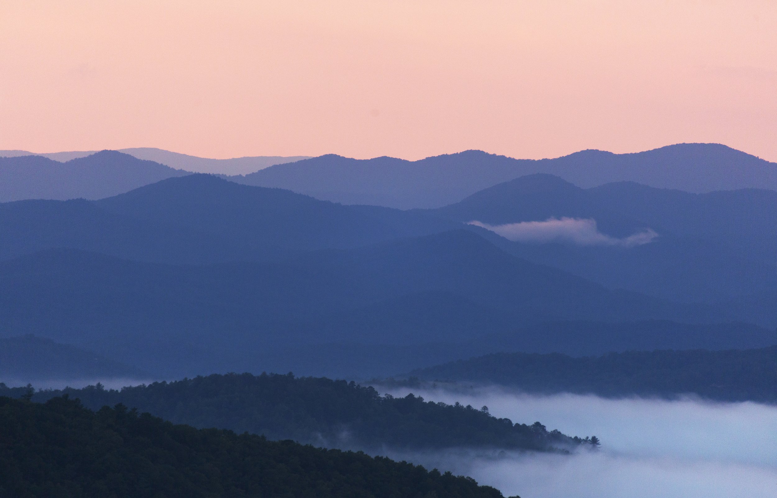
Fields of grass perched above vineyard rows surrounded by thousands of acres of protected forest land with unparalleled views of the Blueridge Mountains is the home of Terra. Follow the meandering gravel Forest Service road up the backbone of the Tallulah Ridge for a mile and a half, to the entrance. Join us at our newly opened tasting room and winery, plan an event in our pavilion, go for a hike, or use Terra as a launching off point to access undeveloped wild camping in the surrounding National Forest.

Operating Hours and Seasons

January - March
Saturday:
Sunday:
12:30 - 7:00 PM
12:30 - 7:00 PM
April - December
Friday:
Saturday:
Sunday:
Monday:
12:30 - 9:00 PM
12:30 - 9:00 PM
12:30 - 9:00 PM
12:30 - 9:00 PM

* Special events are available by appointment

Current Weather

Contact Us

Physical Location
Lakemont, GA
Latitude, Longitude = 34.729683, -83.497673
Navigation Address
1821 Vandiver Mountain Road
Clarkesville, GA 30523
Phone: (828) 482-7382
Email
info@terraincognitavineyard.com

Directions

From Clarkesville (13 mi)

  1. Follow Historic 441 for 2 mi.
  2. Turn left on New Liberty Rd. for 7 mi.
  3. Turn right on Low Gap Rd. for 3.6 mi.
  4. Turn right on Vandiver Mtn. Rd. for 1.2 mi

Chart on Google Maps
From Clayton (19 mi)

  1. Follow US-76 West for 16.9 mi.
  2. Turn left on Charlie Mountain Rd. for 3.6 mi.
  3. Turn right on Bridge Creek Rd. for 2 mi.
  4. Turn left on Seed Lake Rd. for 4.4 mi.
  5. Turn right on Low Gap Rd. 4.2 mi.
  6. Turn left on Vandiver Mtn. Rd. for 1.2 mi

Chart on Google Maps
From Helen, Cleveland, Sautee (22 mi)

  1. Follow GA-17 East for 2.2 mi.
  2. Turn left on to GA-255 at Sautee for 7.7 mi.
  3. Turn right on to GA-197 for 2.3 mi.
  4. Turn left on to Watts Mill Rd. for 1.2 mi.
  5. Turn right on Oakey Mtn. Rd. for 4.3 mi.
  6. Turn left on Low Gap Rd. 4.2 mi.
  7. Turn left on Vandiver Mtn. Rd. for 1.2 mi

Chart on Google Maps
From Tallulah Gorge (15 mi)

  1. Follow 441N for 1.2 mi.
  2. Turn left on to Old 441 for 2.6 mi.
  3. Turn left on to Lake Rabun Rd. for 6.3 mi.
  4. Turn left on Low Gap Rd. 4.2 mi.
  5. Turn left on Vandiver Mtn. Rd. for 1.2 mi

Chart on Google Maps

Trails

Get out and enjoy these beautiful mountains. We have a few trails that make for easy walking or spend some time walking through the vineyard. We have two basic loops that are fit for general use, the Eastern Creek Loop and the Spring House Loop.

The creek trail starts at the pavilion and works its way down to Falls Branch and follows it up to the gravel road. Visitors can then follow the road back to the start or contour along the bottom of the vineyard and back up. On the Western hillside, the Spring House loop takes you along the edge of our hybrid grapes and then to an old dry-stack, spring house.

Although you can spend some time hiking at Terra, you can also use us as a base-of-operations and explore other nearby hiking and mountain biking trails. Have a look at this list onAllTrails Near Terra for better information

Click here to see the trail map

Wines

We have a wide variety of wines from dry Cabernet Sauvignon to sweet berry wines so that we have something for everyone.

Triangulation

Cabernet Sauvignon

Cardinal Direction

Compass Rose

White Meridian

True North

Celestial Spheres

Terra Incognita Newsletter